Museum Home
Collection Information
Contact Us
Skip to main content
Collections
Categories
People
Exhibitions
Thesaurus
Favorites
About
Advanced Search
Share
Expand
Favorite
View PDF
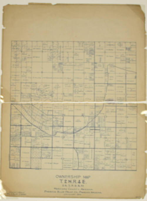
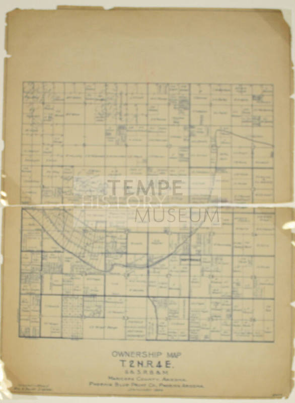
Ownership Map-T.2N.,R.4E
Previous
Next
Ownership Map-T.2N.,R.4E
Date
circa 1932
Medium
Paper
Dimensions
24 × 18 in. (61 × 45.7 cm)
Classifications
Documentary Artifact
Terms
Map
Map
Catalog number
1986.52.14
Description
An Ownership Map of Tempe
Status
Not on view
Discover More
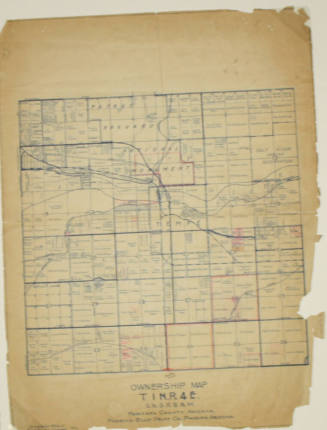
Ownership Map-T.1N.,R.4E
circa 1932
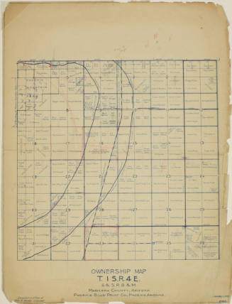
Ownership Map-T.1S.,R.4E
circa 1932
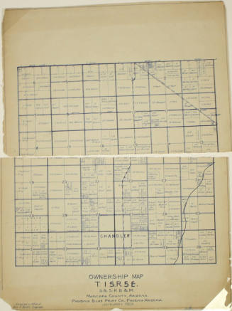
Ownership Map-T.1S.,R.5E
circa 1932
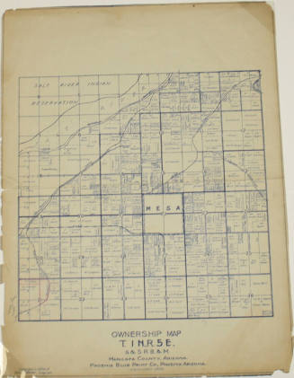
Ownership Map-T.1N.,R.5E
c.1932
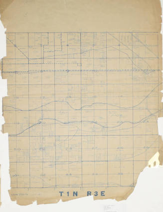
Ownership Map-T.1N.,R.3E
c.1932
Image Not Available
for Research Documents Related to Town of Guadalupe Land Ownership
Research Documents Related to Town of Guadalupe Land Ownership
1920-1987
Image Not Available
for Home Ownership Assistance Reimbursement - Request #4
Home Ownership Assistance Reimbursement - Request #4
City of Tempe Redevelopment
8/4/1993
Image Not Available
for Report of Land Ownership for Potential Airport Sites
Report of Land Ownership for Potential Airport Sites
City of Phoenix
March 20, 1989
Image Not Available
for Summary of Information On Ownership, Use, and Operation of Estes Landfill
Summary of Information On Ownership, Use, and Operation of Estes Landfill
City of Phoenix
1/7/1988
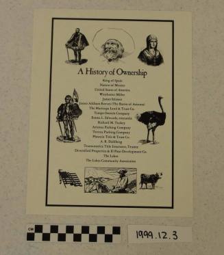
A History of Ownership of Lakes Subdivision land
Date Unknown
T- shirt, Let's put Tempe on the map with Google
Image Not Available
for Portfolio of Plans and Concept Sketches
Portfolio of Plans and Concept Sketches