ADOT Transportation Corridor map
Date1986
MediumPaper
Dimensions10 x 16 in. (25.4 x 40.6 cm)
ClassificationsDocumentary Artifact
Catalog number2002.10.202
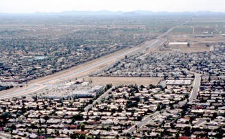
DescriptionThe map shows the Phoenix valley from White Tank Mountains to Ellsworth Rd and future 202, 101, Papago, and Northwest Loop Freeways. The area of study highlighted is Sky Harbor to Price Rd. and McDowell to University Dr. - all existing and future freeways.Status
Not on view