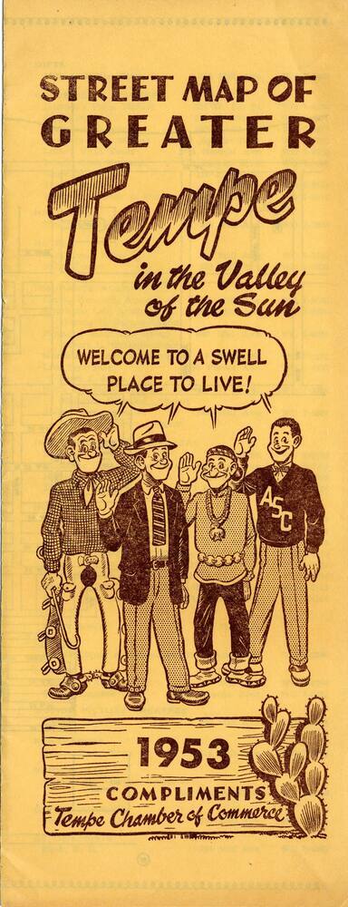
Street Map of Greater Tempe
Date1953
MediumPaper
Dimensions9 × 3 3/4 in. (22.9 × 9.5 cm)
ClassificationsDocumentary Artifact
Catalog number2018.10.33
DescriptionThis goldish colored map of Tempe covers the Salt River to Broadway and Beck to Frankenburg Rd (mileast of McClintock). Arizona State University buildings, churches, schools, government offices, and VFW and American Legion are labeled. Population was 9,250.Status
Not on view
1971