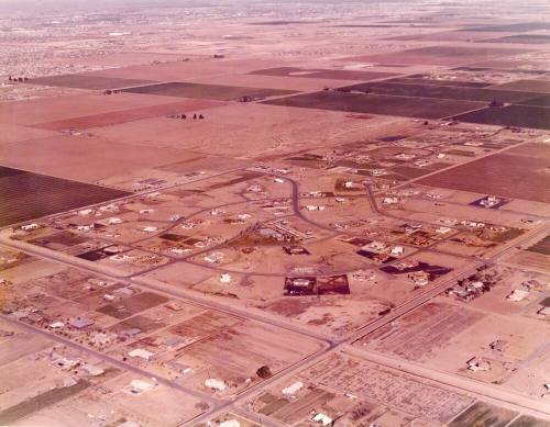
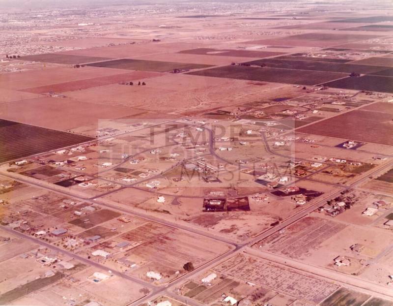
Aerial view of Buena Vista Ranchos
Datec. 1975
MediumPaper and ink
Dimensions11 × 14 in. (27.9 × 35.6 cm)
ClassificationsDocumentary Artifact
Catalog number2018.17.15
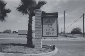
DescriptionOversize color photo taken from the air, of the Buena Vista Ranchos Development between Carver (north) and Warner Road (south), Rural Road (west) and Lakeshore road (east). View is looking northeast. Elliot Road, further north, has a small corner developed at Rural Road and a farmhouse is visible at about Juniper, where Dayspring Methodist church is today.Credit on back of photo is to Arizona Aerial Photo, 6831 S. Willow Dr., Tempe.
Status
Not on view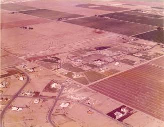


Dick George
April 26, 2012

City of Tempe Community Development Department
3/13/1974