Museum Home
Collection Information
Contact Us
Skip to main content
Collections
Categories
People
Exhibitions
Thesaurus
Favorites
About
Advanced Search
Share
Expand
Favorite
View PDF
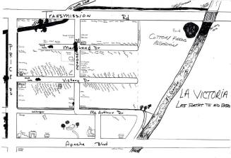
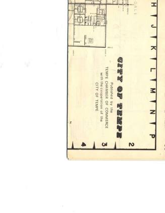
Map of Tempe
Previous
Next
Map of Tempe
Date
c. 1950
Medium
Paper
Dimensions
45 × 37 in. (114.3 × 94 cm)
Classifications
Documentary Artifact
Catalog number
76.327
Description
Street map of Tempe, circa 1950.
Status
Not on view
Discover More
Map - Families in La Victoria Area
Unknown
c. 1950
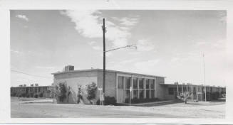
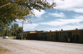
Exterior View of Ritter School Building
c. 1955
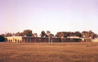
Ritter Elementary School
7/15/56
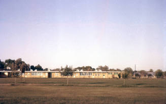
Ritter Elementary School
7/15/56
Ritter Elementary School
10/31/55
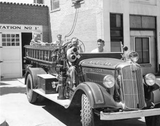
Fire Truck
Bert M. Fireman
c. 1950
Image Not Available
for Broom, Whisk
Broom, Whisk
Circa 1950
City of Tempe Map and School District maps, 1974
Tempe Chamber of Commerce
1974
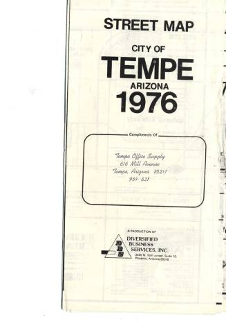
Street Map, City of Tempe 1976
Diversified Business Services
1976
Image Not Available
for Arizona Road Maps
Arizona Road Maps
City of Tempe Redevelopment
Circa 1940 to 1979
Image Not Available
for Tempe Street and Recreation Map, circa 1991
Tempe Street and Recreation Map, circa 1991
Mead Publishing
circa 1991
Image Not Available
for Tempe Street Map
Tempe Street Map
2000