Museum Home
Collection Information
Contact Us
Skip to main content
Collections
Categories
People
Exhibitions
Thesaurus
Favorites
About
Advanced Search
Share
Expand
Favorite
View PDF
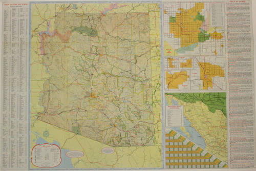
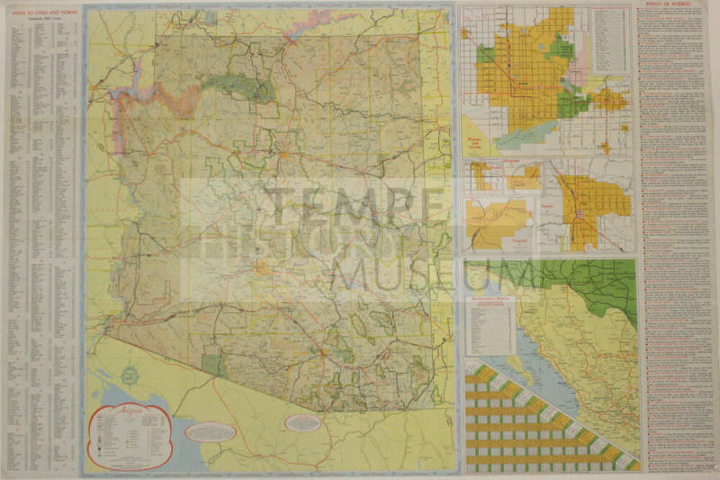
Map- Arizona State Map, 1965
Previous
Next
Map- Arizona State Map, 1965
Date
c. 1965
Medium
Paper
Dimensions
24 × 36 in. (61 × 91.4 cm)
Classifications
Documentary Artifact
Terms
Map
State
Catalog number
1997.1.167
Description
Map- Arizona State Map, 1965
Status
Not on view
Discover More
Image Not Available
for City of Tempe Map circa 1965
City of Tempe Map circa 1965
circa 1965
Image Not Available
for Tempe Plat Maps
Tempe Plat Maps
1961-1976
Image Not Available
for Map of Arizona State University Titled "Traffic Patterns 1968-69"
Map of Arizona State University Titled "Traffic Patterns 1968-69"
5/28/68
Image Not Available
for Arizona State University Football Booklet 1965
Arizona State University Football Booklet 1965
Lawn Griffiths
1965
Board of Regents of the Universities and State College of Arizona 1965
Unknown
1/1/1965
Image Not Available
for Sahuaro Yearbook 1965 - Arizona State University
Sahuaro Yearbook 1965 - Arizona State University
Arizona State University
1/1/1965
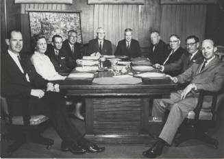
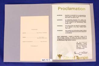
McClintock Map Makers - Proclamation from Harry Mitchell with State Flag Certification
1988, 1991
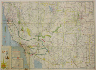
Map- AAA Map of Southwestern States
c. 1967
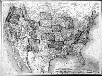
Map of the United States of America
Circa 1930
Image Not Available
for Map of Arizona State University
Map of Arizona State University
c. 1970
Image Not Available
for Arizona State University Map and building index
Arizona State University Map and building index
c. 1970
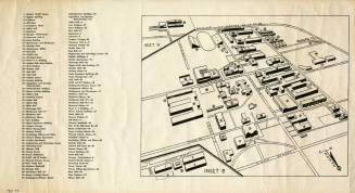
Arizona State University Building layout map with names
circa 1975