Aerial View from Tempe Butte
Datec. 1923
MediumPaper
ClassificationsDocumentary Artifact
Catalog number1987.1.144
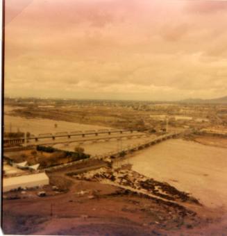
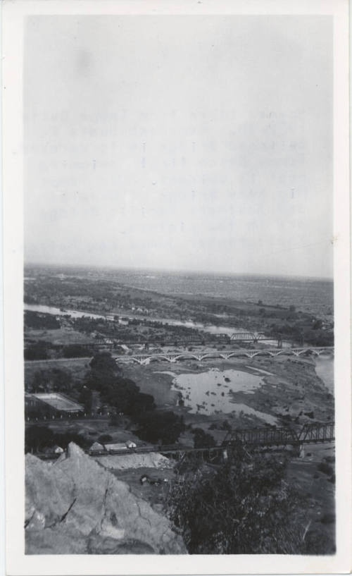
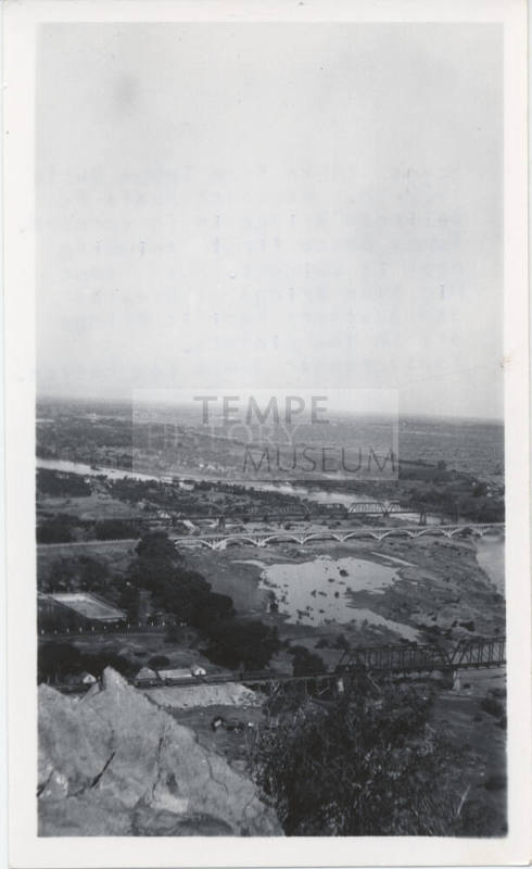
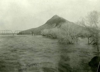
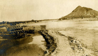
DescriptionAerial view looking northwest from the Tempe Butte. Decades before true aerial photography was possible from aircraft, photos were taken from the Butte from the 1870s onward that gave a perspective that no other city in the Valley could duplicate.
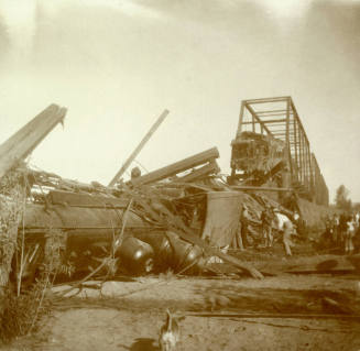
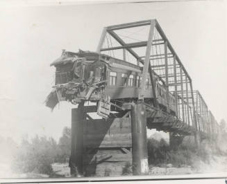
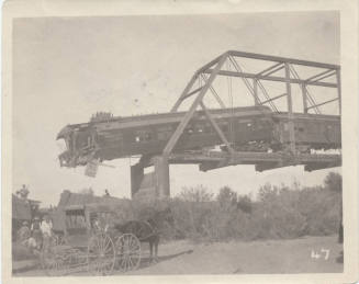
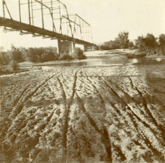
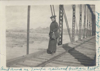
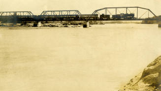
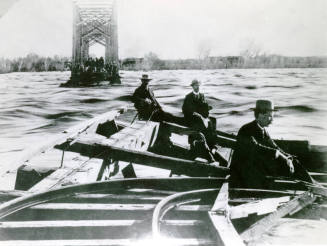
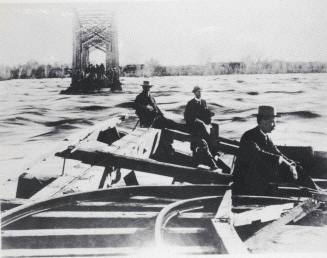
The photo dates between 1923 and ca.1926. The Tempe Beach pool, in mid-lower left, was completed in summer 1923. The Santa Fe Railroad Bridge, in the lower portion of the photo, was demolished around 1926 or 1927. (Although the great 1905 flood destroyed two of the bridge's three spans, the three remaining spans were not demolished for over two decades.) The next bridge that can be seen is the concrete-arched state highway bridge completed in 1913, best known as the Ash Avenue Bridge. Behind that is the Arizona Eastern Railroad Bridge – or the Southern Pacific Railroad Bridge. (Sometimes referred to as the Maricopa & Phoenix Bridge, though the bridge in the photo was built in 1912 by the Arizona Eastern Railroad, a subsidiary of the Southern Pacific.)
The direction of this image is toward Phoenix to the west, with a slightly northwest angle. The perennial channel of the Salt River, near the north edge of the overall river bottom area, can be seen clearly. (There's still enough release from Roosevelt Dam and the other dams on the Salt River to allow for a sizeable flow in the channel.)
Status
Not on viewCollections
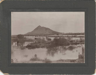
Thursday, February 19, 1891
Tempe Daily News
Thursday, February 19, 1891