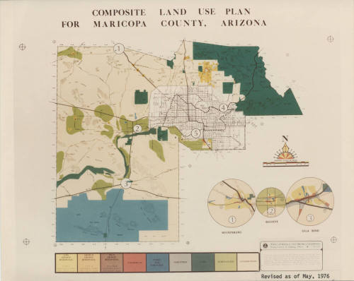
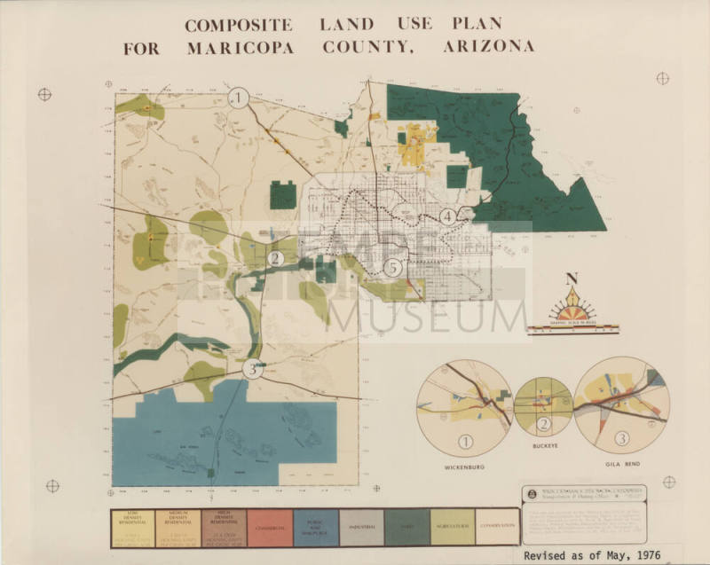
Map of Composite Land Use Plan for Maricopa County, Arizona - Revised 5/1976
Maker
City of Tempe
Date5/1/1976
MediumColor Photo - Emulsion on Paper
DimensionsOverall: 8 x 10 in. (20.3 x 25.4 cm); Small
ClassificationsDocumentary Artifact
Catalog number1999.29.554
DescriptionComposite land use plan for Maricopa County, Arizona - revised May 1976.Status
Not on view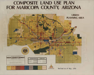
Maricopa Association of Governments
5/1/1976
Maricopa County Department of Planning and Development
c.1967
Maricopa County Department of Planning and Development
2/1/1975
Arizona Department of Environmental Quality
3/14/1989
City of Tempe Community Development Department
7/1/1976