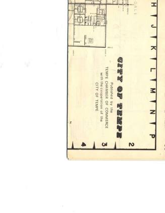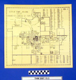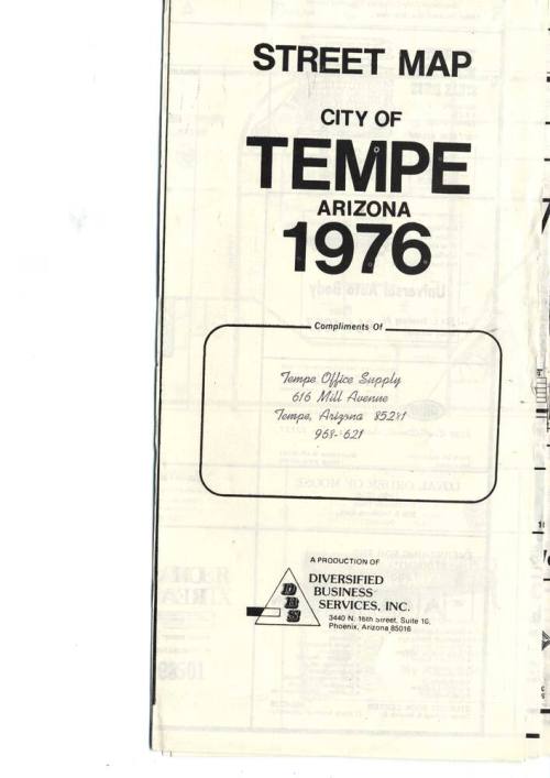
Street Map, City of Tempe 1976
Date1976
Mediumpaper
Dimensionsopen: 23 x 29 in. (58.4 x 73.7 cm)
ClassificationsDocumentary Artifact
Catalog number2009.6.30
DescriptionOne side of the Tempe map is a street map of Tempe from 48th Street to Dobson Road and Baseline to Continental Drive (above McKellips). The other side has street map south of Baseline to Warner Rd, and a map of ASU campus with individual buildings. There are also street lists, school lists, and parks lists with map locations. Around map edges on both sides are ads for local businesses in construction, medicine, food, regular stores, fraternal organizations, auto repair, churches, real estate, and military recruiters.Status
Not on view