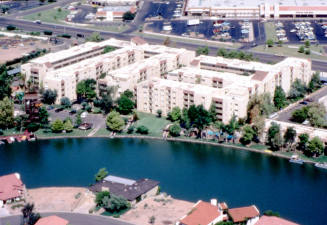
The Lakes Map
Date2012
MediumPaper
Dimensions11 x 17 in. (27.9 x 43.2 cm)
ClassificationsDocumentary Artifact
Catalog number2009.20.3
DescriptionThis "Lakes" laminated map shows basic information in black and white, lakes in blue, common space and Lakes Beach and Tennis Club in green. Borders are Baseline Road to the north, Rural Road to the west, Southshore Drive to the south and McClintock Drive to the East.Status
Not on view


November 1988