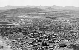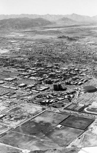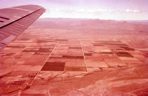
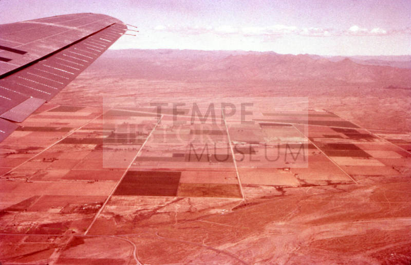
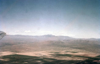
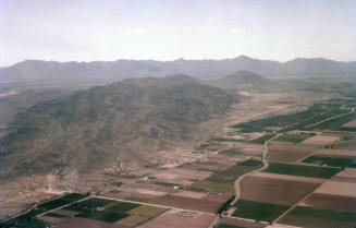
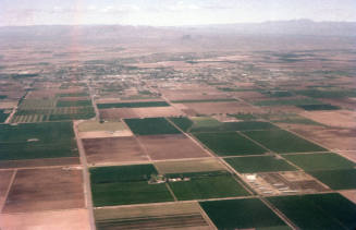
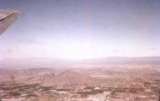
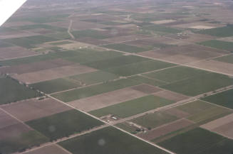
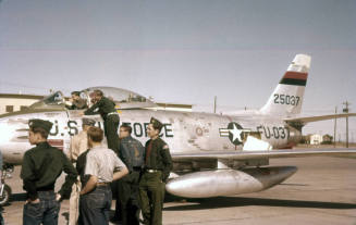
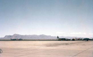
Aerial View of the Greater Phoenix Area from US Air Force Plane
Date4/5/58
MediumFilm
Dimensions2 × 2 in. (5.1 × 5.1 cm)
ClassificationsDocumentary Artifact
Catalog number2016.5.130
DescriptionA photo of an aerial view of the greater Phoenix area from a US Air Force Plane. The Salt River bed can be seen in the foreground and farmland and mountain ranges can be seen extending into the distance.Status
Not on view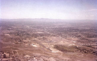
4/5/58
4/5/58
4/5/58