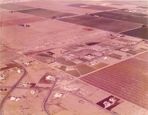
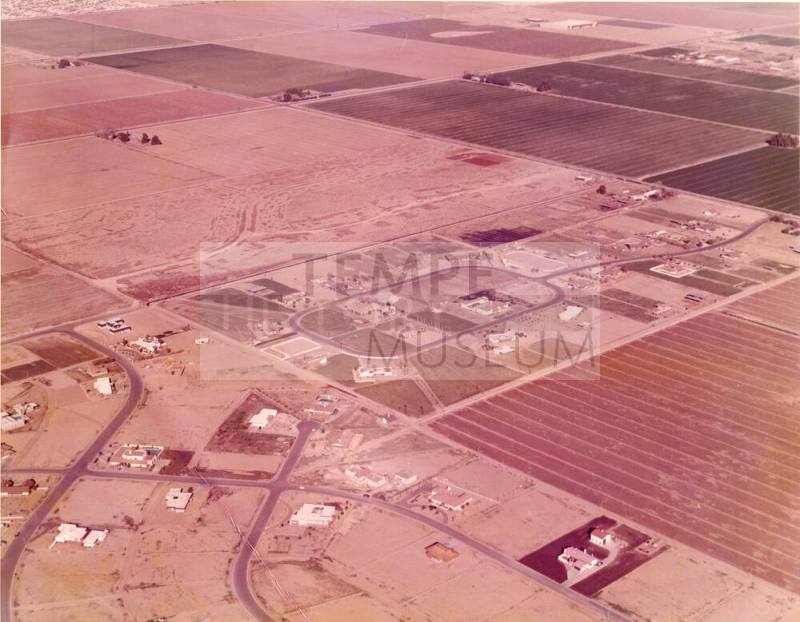
Aerial Photo of Calle de Caballos development
Datec. 1973
MediumPaper and ink
Dimensions11 × 14 in. (27.9 × 35.6 cm)
ClassificationsDocumentary Artifact
Catalog number2018.17.16
DescriptionOversize color photo taken from the air, of the early stages of the Calle de Caballos Development between S. McClintock Road (east) and curving Terrace Road (west) View is looking northeast. Warner Road, is off the photo to the south. The photo shows an oval of streets with and from McClintock Road to the development with horse lots and horse path at north where Carver would be. Some trees and a house at far upper left is at Elliot and Juniper, where Dayspring Church is today.Credit on back of photo is to Arizona Aerial Photo, 6831 S. Willow Dr., Tempe.
Status
Not on view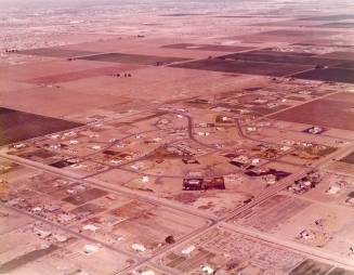
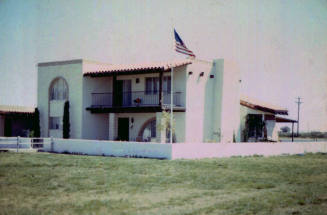
June 1973
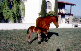
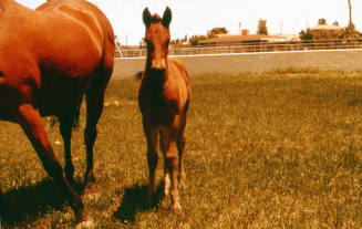
August 1979
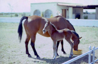
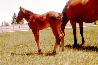
August 1979
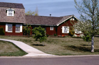
June 1973
June 1973