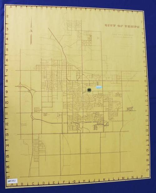

1970s Map of Tempe
Datec. 1970
MediumPaper
Dimensions38 × 32 in. (96.5 × 81.3 cm)
ClassificationsDocumentary Artifact
Catalog number2017.21.1
DescriptionLarge map of Tempe in the 1970s. Shows the city boundaries at Price, Baseline, I-10, and above the Salt River. The future site of Marcos de Niza is noted, as is Legend City, Big Surf, the baseball stadium, and different offices.Status
Not on view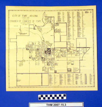

c.1995