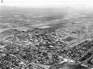
Tempe - Aerial Photograph
Artist
Clark, Art
Date2/1957
Mediumfilm
Dimensions2 1/2 × 2 1/2 in. (6.4 × 6.4 cm)
ClassificationsDocumentary Artifact
Catalog number2010.17.22
DescriptionBlack and white photograph of Tempe, looking north with a view of neighborhoods with a lot of trees and open farm fields. Tempe Butte (A Mountain) is visible on the northside of town, with the Apache Blvd curve, Mill Ave. and the railroad tracks bisecting the photograph. Hayden Flour Mill silos are visible at the base of Tempe Butte. The dry river bed of the Salt River is seen to the north, along with a corner of Camelback Mt. and the McDowell Mountains in the distance.Status
Not on view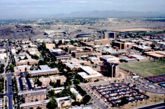
c. 1978
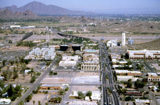
City of Tempe Redevelopment
April 1988