

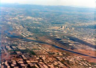
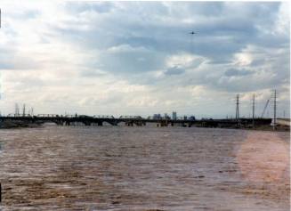
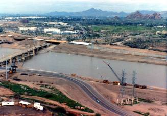
Aerial View of the Salt River and Phoenix, 1992
DateFebruary 1992
MediumPaper
Dimensions3 1/2 × 5 in. (8.9 × 12.7 cm)
ClassificationsDocumentary Artifact
Catalog number2017.1.23
DescriptionColor photograph of the Salt River and downtown Phoenix, taken from the air looking northwest. Buildings along Central Avenue corridor are visible and the I-10 freeway bridge is visible at lower right.Status
Not on view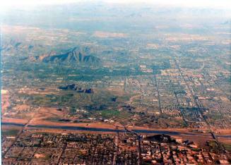
February 1992

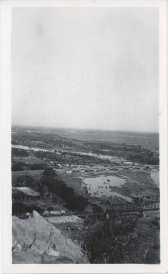
c. 1923
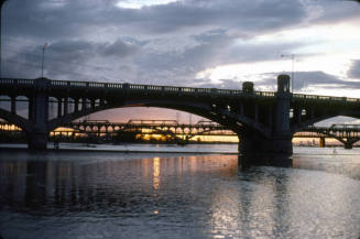
February 1993

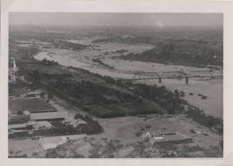
circa 1895