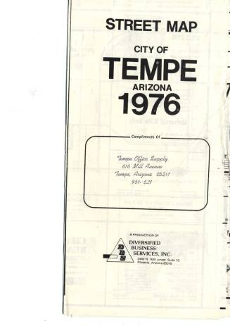
City of Tempe Map, 1974
Date1/1974
Mediumpaper
Dimensions25 × 17 in. (63.5 × 43.2 cm)
ClassificationsDocumentary Artifact
Catalog number2016.22.10
DescriptionOne side of the b/w map shows streets from Continental Drive north of the river south to Ray Road, and from 48th Street to Price. Schools and parks are listed at the top.The other side is a school district map with shaded locations and divisions between Kyrene and Tempe Elementary districts.
Status
Not on view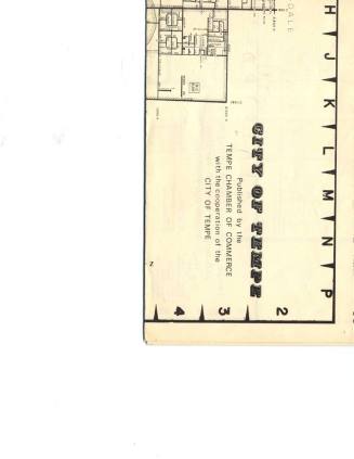


August 18 1977