
Map of Tempe
Date1965
MediumPaper
Dimensions18 1/2 x 23 1/2 in. (47 x 60 cm)
ClassificationsDocumentary Artifact
Catalog number1995.13.12
DescriptionBlueprint map of Tempe showing lots within the area from the Salt River on the north to the Southern Pacific railroad on the south and from Roosevelt Street to Rural Road. Several lots around 5th and Myrtle Streets are highlighted with green stickers.Status
Not on view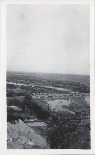
c. 1923
1890, 1924,1948-1982