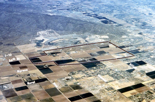
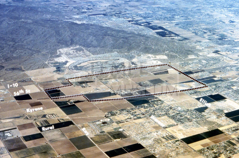
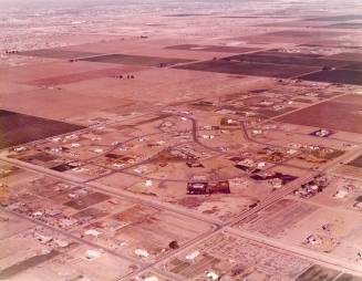
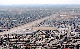
Aerial Photograph of Southwest Tempe
Mediumfilm
Dimensions2 × 2 in. (5.1 × 5.1 cm)
ClassificationsDocumentary Artifact
Credit LineTransfer from Development Services Department, 1-1-2006
Catalog number2006.9.7912
DescriptionThis is an aerial photograph of southwest Tempe before it was fully developed. This image shows Tempe south of Guadalupe Road to Ray Road, and from Rural Road west to the I-10 freeway and South Mountain range.Status
Not on view
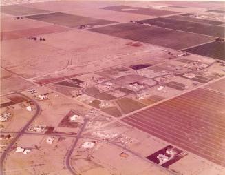
City of Tempe Redevelopment
c. 1975
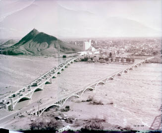
Marbow Photography
December 31, 1965
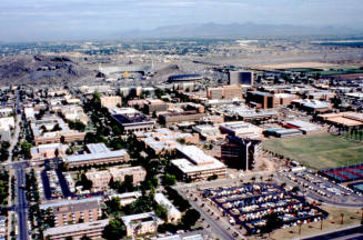
c. 1978