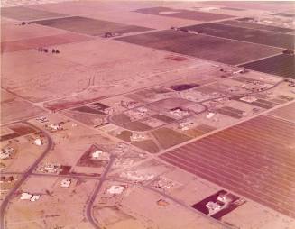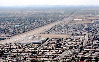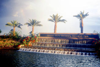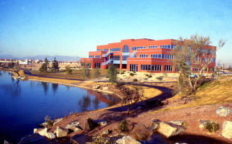
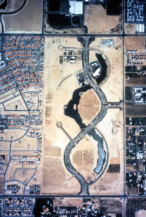
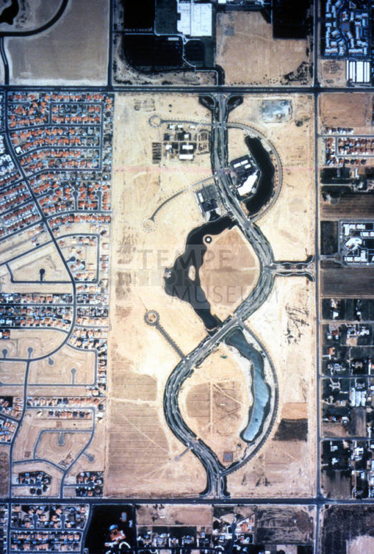
ASU Research Park aerial view
Date3/12/1990
Mediumfilm
Dimensions2 × 2 in. (5.1 × 5.1 cm)
ClassificationsDocumentary Artifact
Credit LineTransfer from Development Services Department, 1-1-2006
Catalog number2006.9.10463
DescriptionAerial view of ASU Research Park, between E. Elliot Rd. and E. Warner Rd., just west of S. Price Rd. Shows early stages of it's development, with the streets and water features, but mostly vacant land except in the northwest corner. Part of the the technology business north of the park, as well as some of the neighborhoods surrounding it, are also visible.Status
Not on view