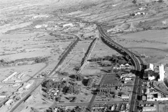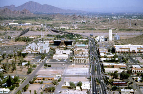
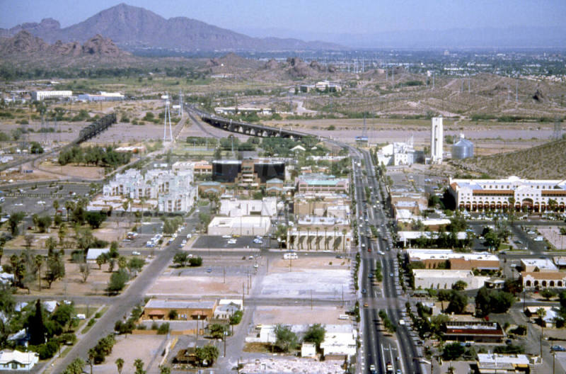
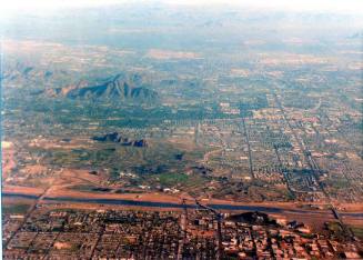
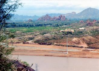
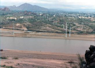
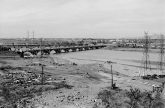
Aerial Photograph of Downtown Tempe, Mill Avenue and Salt River
DateApril 1988
Mediumfilm
Dimensions2 × 2 in. (5.1 × 5.1 cm)
ClassificationsDocumentary Artifact
Credit LineTransfer from Development Services Department, 1-1-2006
Catalog number2006.9.7917
DescriptionThis is an aerial photograph of downtown Tempe and Mill Ave., facing north. Hayden Flour Mill, the Salt River, Papago Park and Camelback Mountain are visible.Status
Not on view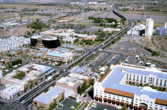
February 1992
Marbow Photography
December 31, 1965