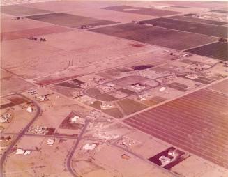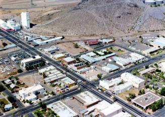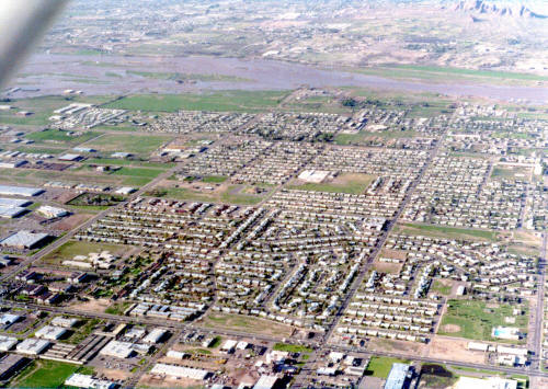
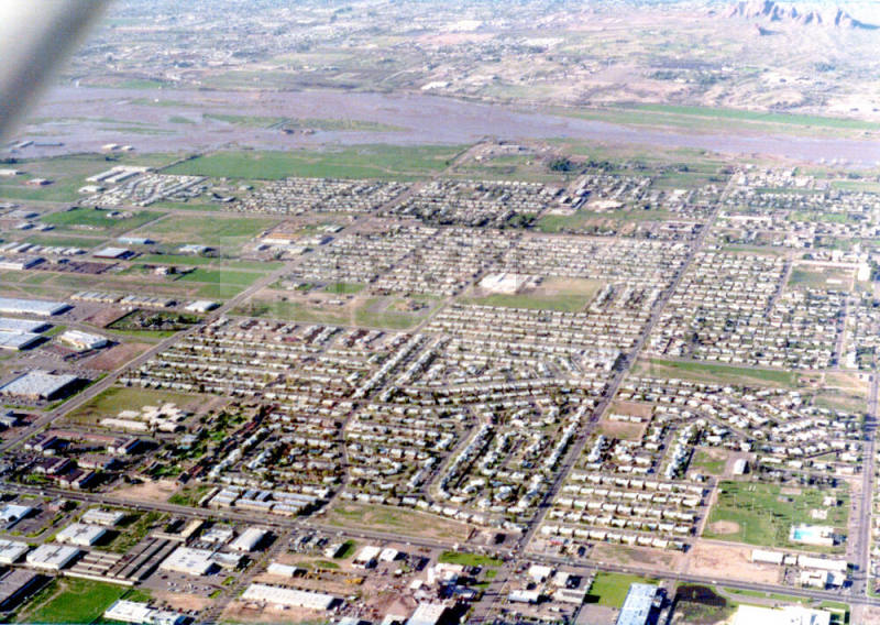
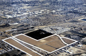
1978 Flood Aerial Photo of West Tempe from a Cessna 150
Date1978
Mediumpaper
Dimensions3 1/2 × 5 in. (8.9 × 12.7 cm)
ClassificationsDocumentary Artifact
Catalog number2023.11.3
DescriptionHere is an aerial photo of the 1978 flood in Tempe, with this photo showing West Tempe looking north. The floodwater is at the forefront of the top of the photo, while the rest below are buildings near the street intersection of Broadway (bottom horizontal street) and Hardy (the farthest right vertical street). Another prominent street in the photo is Priest Drive (the farthest left vertical street). Clark Park is on the bottom right corner where the baseball field is.Status
Not on view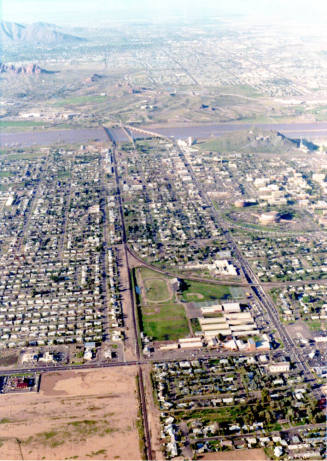

City of Tempe Redevelopment

September 24, 1910